
Walk a Kenmore Street by Address
A Kenmore street directory should be built one parcel at a time. County property tools can identify a named owner or taxpayer and tie the site to a legal parcel. Recorded deeds add grantors and grantees. Permits may identify an applicant or contractor. Voter and directory material can support a known-person match, yet none of these labels alone means “resident.” Start with a street segment and a date range, then keep one worksheet row per parcel.
- Enter the address in King County Parcel Viewer and select the correct Kenmore parcel, including any corner or unit context.
- Open eReal Property. Copy the parcel, situs, owner or taxpayer, mailing address, legal description, value, and exemption fields as labeled.
- Use the parcel and legal description in Landmark Web. Read deeds and related instruments in date order.
- Search MyBuildingPermit by Kenmore jurisdiction, street, parcel, and date to add work and application history.
- For a known person, use VoteWA as a restricted match form. For an older occupant, turn to archival cards, KCLS, and regional directories.
Repeat the process for each selected parcel instead of treating a map view as a finished street roster. Save the source URL and access date. Mark a missing field as “not returned,” never copy a value from the lot next door.
Kenmore Parcel Viewer Street Controls
King County Parcel Viewer supports address, parcel, map, street, and cross-street work. Its city selector can narrow the setting to Kenmore. New selection and Add to selection controls help collect adjoining lots, while layers and a buffer can give block context. A selected parcel links to eReal Property and the Districts & Development Conditions report. The latter may show jurisdiction, ZIP, and PLSS details, meaning section, township, and range.
| Viewer control | Input | Street-directory use |
|---|---|---|
| Query box | Address, landmark, or parcel | Find the first lot |
| City and street | Kenmore plus road name | Narrow the map |
| Cross street | Intersection choice | Define a segment |
| Selection mode | New or add | Collect nearby parcels |
| Layers and buffer | Map options and distance | Check context, not residency |
| Parcel pop-up | Selected map result | Open assessor and conditions reports |
A map outline is not a certified survey. Verify the parcel number and county report before moving to deed or permit research.
Read Kenmore Assessor Street Results
The King County eReal Property result is the core address record. Its situs field is the physical location. The mailing field is where tax correspondence goes and may be elsewhere. Owner or taxpayer identifies a property interest, not every person inside the building. Legal description connects the lot to plats and recorded instruments. Values, exemptions, sketches, and linked maps add property context.
The official search landing screen shows the public-use acknowledgment that precedes the account lookup.
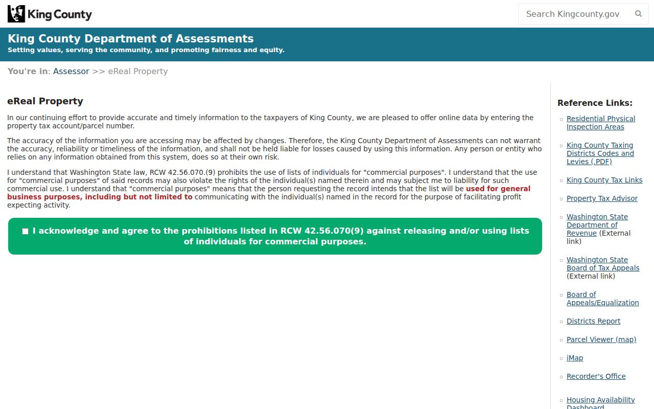
When walking by street, copy the county situs exactly and retain unit labels. Search both the full unit address and base address in other systems because older permits may omit a unit.
- Parcel
- A mapped tract with a county account number.
- Situs address
- The physical location assigned to the property.
- Plat
- A recorded map that names an addition, lots, and blocks.
- Legal description
- The land wording used to identify property in recorded documents.
Kenmore Street Records by Source
Each address system contributes a different kind of evidence. The Kenmore street directory becomes more reliable when the search approach and person signal stay attached to the result. Online access is only one channel; old instruments, complete copies, and missing local files may require a counter, mail form, phone call, library query, or archive visit.
| Record Set | Keeper | What It Shows | Access |
|---|---|---|---|
| eReal Property | King County Assessor | Owner/taxpayer, mailing, situs, legal fields | Free portal |
| Parcel Viewer and iMap | King County GIS | Parcels, layers, linked reports | Free viewer |
| Landmark Web | King County Recorder | Recorded parties and instruments | Free index; copy channels |
| MyBuildingPermit | Regional permit system | Applicant, contractor, project, dates | Free portal; 100-result cap |
| Historical cards | Washington Digital Archives | Address and former-address fields | Free online collection |
| VoteWA | Washington and King County Elections | Known voter match | Form or lawful list request |
The parcel number ties GIS to assessor, permit, tax, and deed work. Street text is less stable, so preserve suffixes, directionals, former labels, and the legal description. VoteWA is not a public address browser. Historical occupant evidence may require KCLS reference help and the clearly labeled regional directory shelf.
Search Kenmore Deeds Along Blocks
Landmark Web offers parcel, name, legal, document type, book/page, consideration, recording number, and Torrens modes. For a block project, begin with each ten-digit parcel and include related excise affidavits when useful. Copy the grantor, grantee, party type, document category, date, recording number, book/page or legal description, and image status.
The parcel-route capture shows the index working from the stable county key.
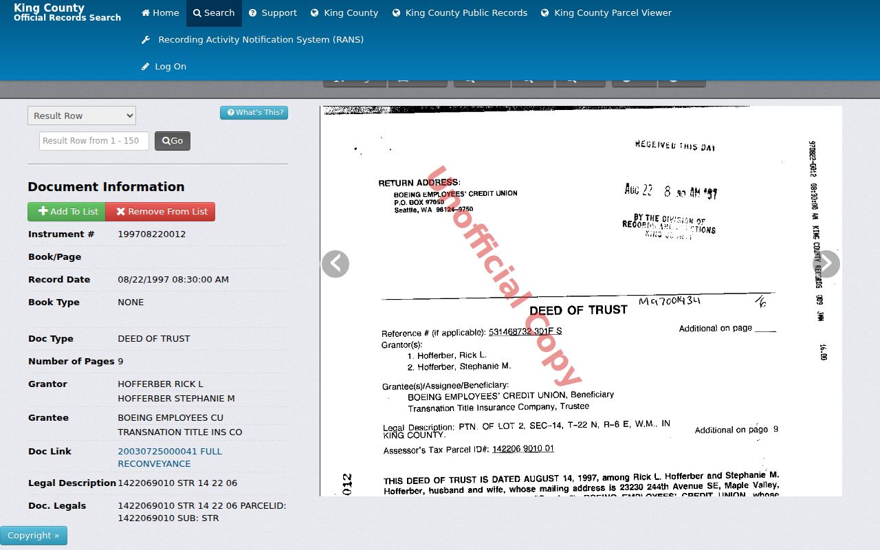
Grantor means the party giving an interest; grantee means the one receiving it. Neither role proves occupancy. Current recorded-copy requests are available online, by mail, phone, or in person. King County Archives holds originals from 1853 through July 31, 1991, with walk-in recorded-document microfilm during posted lobby hours and advance arrangements for other research-room material.
Kenmore Permits Follow Addresses
MyBuildingPermit can be searched with Kenmore as the jurisdiction and filters for permit or application number, project name, location, parcel, contractor, applicant, permit type, status, and dates. The public results are capped at 100, so narrow a common street by number, parcel, type, or time span. A detail may add descriptions, applied, issued, and finaled dates, inspections, conditions, fees, and associated applications.
Permit names require care. An applicant may be an owner, architect, contractor, or agent. A contractor is not thereby a Kenmore resident. Use the record to date construction, additions, conversions, or a change in use, then join it to the parcel and recorded chain. If an attachment is absent, contact Kenmore Community Development or submit a focused City Clerk request. The city identifies a permit-tech contact and a public counter schedule as offline paths.
Old Kenmore Street Labels Survive
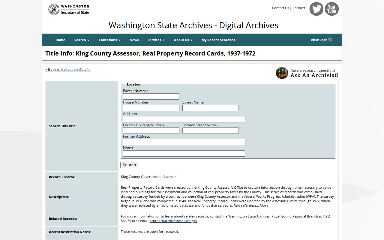
No official Kenmore-wide street-renumbering event and year was verified. Do not invent one. Instead, bridge a failed address through the 1937-1972 King County assessor cards. The archive form includes location, parcel, house number, street, addition, former building number, former street name, former address, and notes. Plats, legal descriptions, aerial layers, and recorded books can then connect the old label to a present parcel.
The Digital Archives screen exposes those unusually helpful former-address fields.
Kenmore's city name also has a time limit. The city incorporated in 1998, while the Northlake Terrace plat, mill, post office, roads, river, and regional place names predate it. Try the historic landmark or plat instead of forcing every old source into a modern city field.
Kenmore ZIP Is Not Jurisdiction
ZIP 98028 is the main Kenmore postal identifier, while 98011 and 98034 appear nearby in regional ZIP and ZCTA context. Postal geography and city limits serve different purposes. Confirm an address through the USPS ZIP Code Lookup, then use the county conditions report or city maps for jurisdiction. A postal label cannot prove that a parcel lies within Kenmore.
The same warning applies to mailing addresses. A tax-mail destination can differ from the situs. A corner parcel may front one road while its legal parcel extends behind another. Archived Kenmore zoning maps from 2014, 2019, 2022, and 2023 may explain an older land-use label, but they do not identify occupants. Record USPS city and ZIP, county situs, parcel, and jurisdiction in separate columns.
Note: When a street crosses a city line, repeat the county map query and compare each parcel's jurisdiction field before making a Kenmore claim.
Kenmore Voter Search Has Limits
VoteWA requires a first name, last name, date of birth, and CAPTCHA. It can test a known person's public registration match, but it cannot produce all voters along a street. Washington law allows defined public inspection and copy routes with use limits. A formal file request belongs with King County Elections or the Secretary of State, while protected voters and confidential fields remain out of view.
An address-based worksheet should never turn a failed voter match into a claim that nobody lives there. Registration may be protected, inactive, entered differently, or absent. Property records also omit many occupants. Use the voter layer only after the assessor, recorder, and known-person details agree, and preserve the exact public field labels returned.
What Kenmore Street Records Miss
No public Kenmore street directory guarantees every person in a home. The assessor reports a property interest and mailing data. Deeds name instrument parties. Permits label applicants and contractors. VoteWA matches a known registrant under its rules. Driver and vehicle address data is restricted under the federal Driver's Privacy Protection Act, and no public Kenmore utility-customer list was verified. Protected addresses may also be withheld through Washington's Address Confidentiality Program.
Commercial neighbor tools may blend stale or unclear data. Official records are narrower but show the custodian, role, and date. For house history or civic research, that traceable label is more useful than an unsupported household claim. If a portal fails, use the City Clerk, permit technician, Recorder copy form, King County Archives, KCLS local-history help, or a focused public-records request.
Lawful use. Kenmore address records support personal research, genealogy, and civic inquiry. Never use a name or address to stalk, harass, intimidate, or harm anyone.