
Kenmore Previous Residents by Era
Kenmore address history crosses modern county systems, paper-era recorded instruments, property cards, regional historical collections, and newspapers. Start with the source closest to the target year. The best record may identify an owner, taxpayer, applicant, or historical occupant, so preserve that source label rather than calling every named person a resident.
| Source | Years It Covers | Where Held | What It Shows |
|---|---|---|---|
| Landmark Web and Recorder | August 1, 1991 forward online route | King County Recorder | Parties, instrument, parcel, recording date |
| Recorded instruments | 1853-July 31, 1991 | King County Archives | Original or microfilm deed trail |
| Assessor property cards | 1937-1972 | Washington Digital Archives | Address, parcel, former address, notes |
| Territorial/state census | Selected years, 1877-1892 | State and county archives routes | County-level household clues |
| MyBuildingPermit | Current portal; samples reach 2005 | Regional permit search | Project, parcel, applicant, dates, inspections |
A federal census becomes public under the 72-year rule. Exact Kenmore criss-cross directory coverage was not verified, so regional directory runs must be labeled honestly. For mid-century work, the assessor-card collection is often the safest bridge from an old street label to a modern parcel.
Start a Kenmore Address Trail
Search King County Parcel Viewer or iMap with the current street address. Select the parcel, then open the linked eReal Property and Districts & Development Conditions reports. Record the parcel number, situs, jurisdiction, legal description, owner or taxpayer label, and mailing address exactly as shown.
The parcel number is the stable bridge among GIS, assessment, permits, taxes, and deeds. A mailing address may point elsewhere and does not prove occupancy. Likewise, an assessor owner field identifies the person or entity tied to the tax record, not every past resident of the building.
Trace Kenmore Owners Backward
A chain of title is the sequence of recorded transfers for the same land. In Landmark Web, search the ten-digit parcel without punctuation and narrow by document type or recording date when needed. The index also supports party, book/page, recording number, legal, and advanced legal searches.
- Copy the parcel and legal description from the county assessor report.
- Find the present owner's acquisition deed and save its recording number, date, and parties.
- Take the seller's name from that transfer and search the seller's earlier purchase as a grantee.
- Repeat while checking parcel, plat, legal description, dates, and party roles at every link.
- When the trail crosses July 31, 1991, move from the online route to King County Archives.
- Grantor and grantee
- The party giving an interest and the party receiving it in a recorded transfer.
- Chain of title
- The linked series of transfers for the same property.
- Legal description
- Plat, lot, block, survey, or other title language that can survive a street-name change.
Images in Landmark Web are unofficial. A certified copy comes through the Recorder's copy channel, while a pre-August 1991 original or microfilm copy comes through Archives.
The Landmark Web parcel result model shows how one parcel can organize instrument and party data.
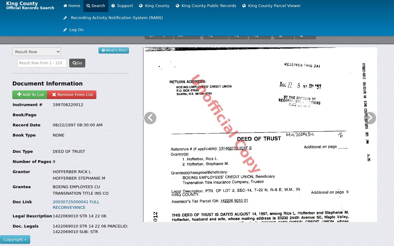
The screen supplies a structured lead, but the recorder or archive remains the source for an official copy.
Earlier Kenmore Deeds at Archives
King County Archives holds original recorded documents from 1853 through July 31, 1991. Its research route includes microfilm, scheduled research-room work, limited walk-in hours, mail, and copy ordering. The Recorder handles later instruments through online, mail, phone, and in-person channels.
This cutoff is one of the most useful facts in a previous residents search. A blank modern portal result may mean the search has crossed into Archives custody. Take the known instrument number, parties, date range, parcel, book/page, plat, and legal description into the request so staff can distinguish the correct land.
Kenmore Cards Preserve Old Addresses
Washington Digital Archives hosts 82,420 King County assessor real-property cards from 1937 through 1972. The collection grew from a WPA survey and was updated until automated property databases took over. Its fields include location, parcel, house number, street, addition, former building number, former street name, former address, and notes.
Those former-address fields solve a classic house-history problem: the building remains while the public-facing number or street label changes. Search both the old and new forms, then test the result against the parcel, addition, and legal description. A card is still a property record, not a complete household roll.
Kenmore Permits Date Changes
MyBuildingPermit can search Kenmore by jurisdiction and then by permit number, project, location, parcel, people, or date. Location fields accept a partial number and street name. The people tab includes contractor company, license, and applicant surname, while date filters can use applied, issued, or finaled.
Permit files can date new construction, additions, conversions, and repairs. Keep each person's stated role. An applicant may be an owner, architect, contractor, or agent. The inspected samples show a current project and an older 2005 permit page with inspection, date, status, staff, notes, and document columns, but the portal did not state a complete historical cutoff.
Uplake Terrace House History
Uplake Terrace gives Kenmore researchers a rare local bridge. The neighborhood association dates much of its house building to the mid and late 1950s and its charter to 1956. A February 2026 city preservation document describes 102 documented or updated WISAARD property entries, including 80 in Uplake Terrace, with photographs, a master map, and property files.
Use the survey to identify an architectural period or property lead. Then verify the parcel, deed parties, permits, and any historical names independently. WISAARD is not an ownership roll. Its value is the link between place, era, and the records that can test who lived here before.
Kenmore Past Households in Context
Deeds trace owners, not all previous residents. Pair each transfer year with the nearest public census, regional directory, school record, newspaper, or obituary. The exact Kenmore city-directory run was not located in an official catalog, so verified Seattle volumes must remain labeled as regional comparison material. The Kenmore city directory collections route explains those holdings and limits.
- Fix the target year and the address form used then.
- Check the property card for former numbers, names, and additions.
- Compare the closest directory or census year with the deed parties.
- Test names in newspapers, school registers, Heritage Society categories, or an obituary request.
- Confirm identity through two fields, such as address plus spouse or parcel plus date.
KCLS obituary help accepts a full name, place and date of death, and a publication clue. Staff search one request at a time, generally within about ten days of the death date, and report that most requests finish within 14 working days. Probate files may extend an owner's trail into estate and heir records through the Superior Court Clerk or archival holdings.
The Seattle City Archives property-history method is also useful for ordering reverse-directory, assessor-card, Sanborn map, parcel, and deed work, even though its Seattle holdings must not be presented as a Kenmore directory run.
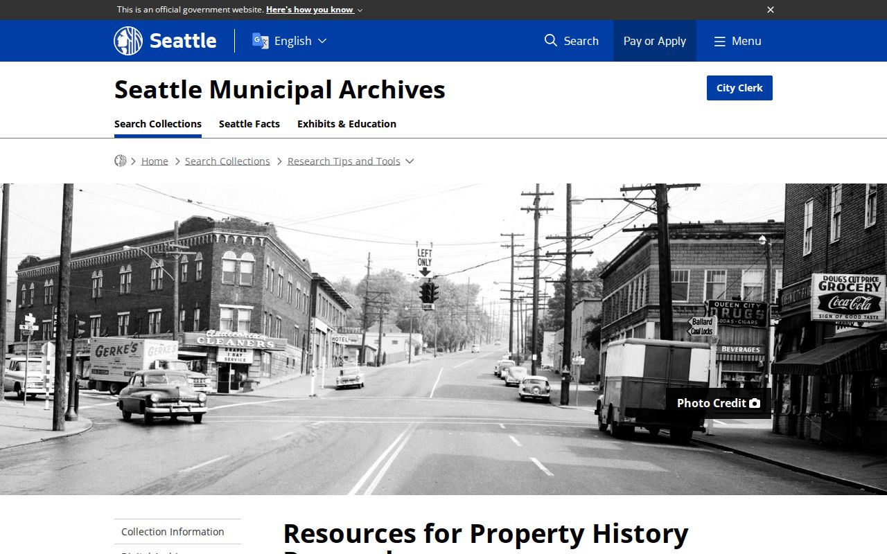
The captured resource works as a method checklist; Kenmore facts still need confirmation in King County, KCLS, and local historical records.
Lawful use. Research Kenmore previous residents for house and family history. Never use a record to stalk, harass, or expose a protected address.